This post is a follow-up to part 1, about the fire at Nassar Farm, and was originally posted on Facebook, August 14, 2019, just after my visit there. I guess I was painfully right about “uncertain” outcomes.
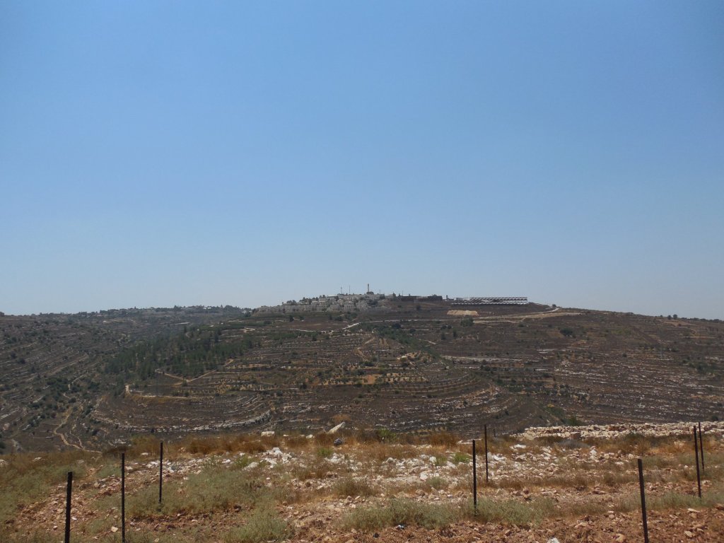
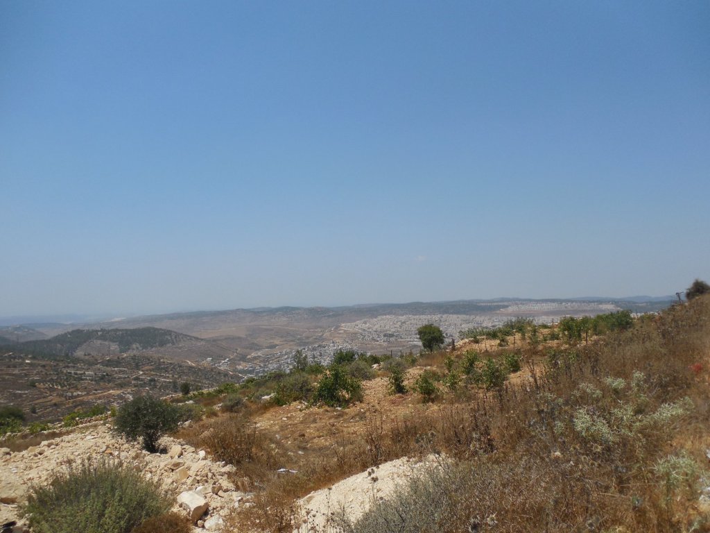
What you see below are photos of the Nassar Farm, or the Tent of Nations, on a hill near the Palestinian village of Nahalin, surrounded by four settlements of the Gush Etzion settlement bloc (Neve Daniel, Betar Illit, Alon Shvut, and Elazar).* The Nassar Farm lies on a hill toward which all four settlements are slowly expanding. Each expansion involves what the Nassar family regards as an encroachment on or violation of their property boundary, which they trace a century back to Ottoman times.

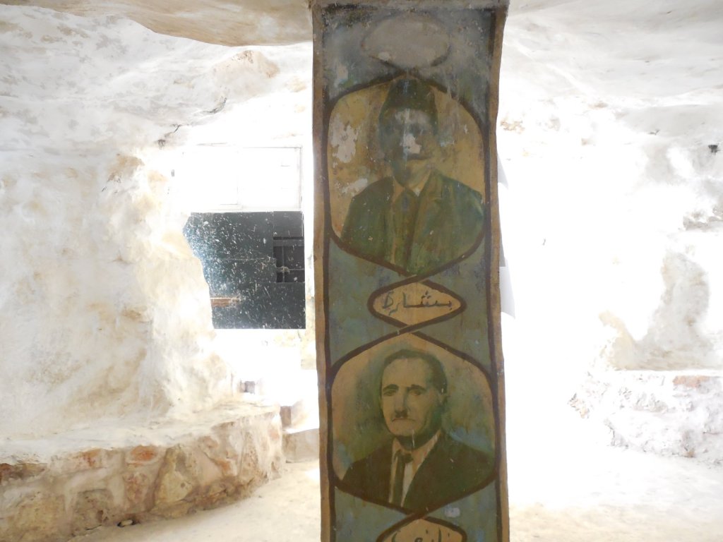
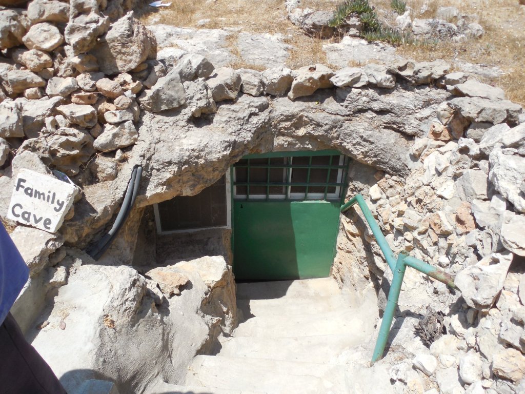
Because the land is categorized as miri according to Ottoman law (incorporated in turn into Israeli military law), it must continuously be cultivated, or else it reverts to state ownership.* But since the farm lies in Area C (under full Israeli military control), it’s regulated so strictly that continuous cultivation of the whole farm is a near impossibility. The farm is permitted no access to the electrical grid, no running water, no building permits (not even for tents), and no access to (mechanized) agricultural machinery. Binding subpoenas are dropped at random on the property and demand a timely response on pain of crop destruction. The main road to the farm is blocked by boulders. Electricity is supplied by solar panels. Rainwater is harvested as a significant water source. As the photos make clear, the family literally lives in a cave, but has done what it can to make the best of the situation it faces.


As the farm is the subject of ongoing litigation since 1991, missing one subpoena might result in the complete loss of the case, and the complete loss of the farm. So the farm must be cultivated and inhabited at all times without pause. The gaps are filled by international volunteers, mostly with affiliations to various Christian denominations, who work or “house-sit” the farm so that it can’t be regarded as “abandoned,” even for an hour (abandonment being a sufficient condition for expropriation). Volunteers are sent out on subpoena patrols, to make sure that no subpoenas have been served on some obscure corner of the property without anyone’s knowledge.


The contrast between the farm and the settlements is obvious: the settlements have the law, the military, economic resources, and technology on their side. The farm has dedication, Christian faith, and volunteer labor. The ultimate outcome remains uncertain, at least in this world.
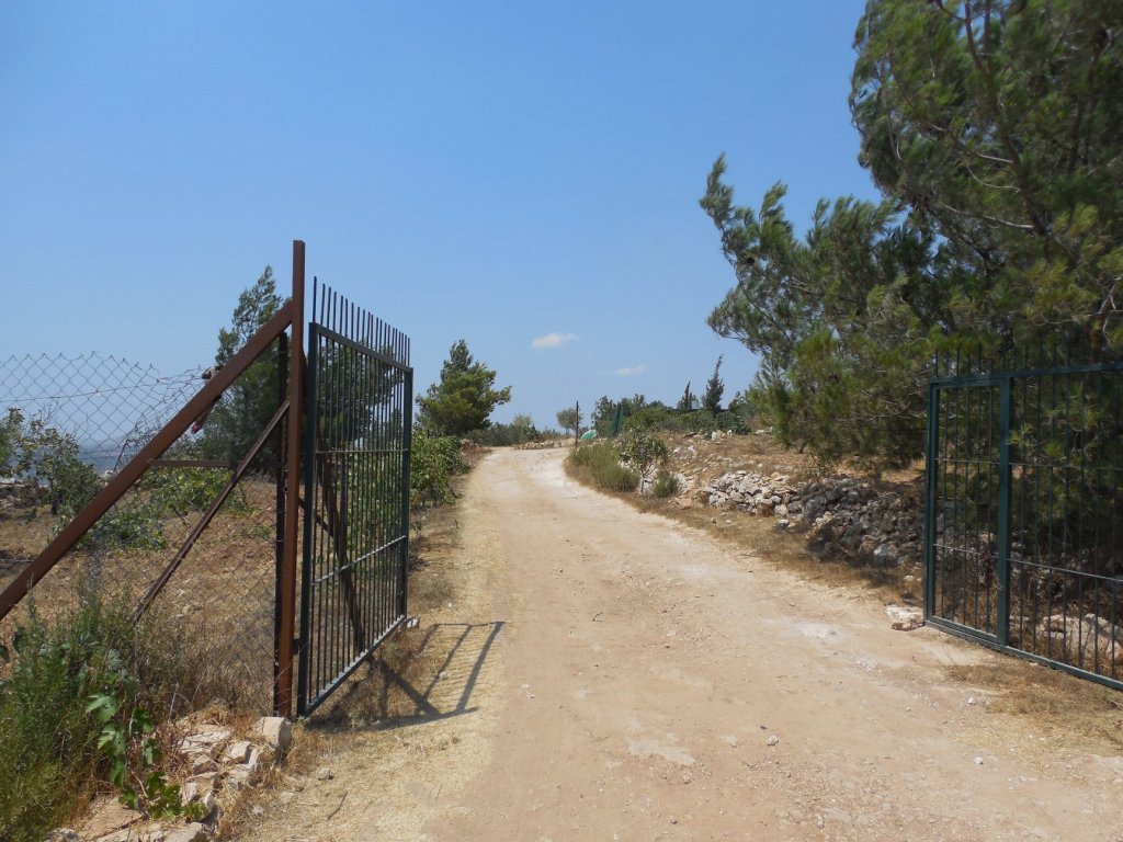
*The first set of shots are taken from the hilltop on which the farm sits, and show the settlements developing toward the farm. Mr Nassar’s contention is that the slow development is intended to eat away at the edges of the farm, and by slow increments, to reach the farm itself, essentially encircling it and closing it in. Also depicted: the cave that serves as the family’s domicile; the crops cultivated on the farm (mostly grapes and olives); and the driveway leading to the main road, adjacent to a newly developed settlement, which is blocked off by the Israeli military at the end closest to the farm itself with boulders, rendering it essentially unusable.
**For primers on land use regulations in the West Bank, see B’Tselem’s 2010 report, By Hook and by Crook: Israeli Settlement Policy in the West Bank, or Gary Fields’s Enclosure: Palestinian Landscapes in a Historical Mirror (2017). The Wikipedia entry on “Declarations of State Land in the West Bank” is also useful.
